URBAN DIGITAL TWIN

URBAN DIGITAL TWIN
About Us
the power of two
Wiseland is a network of companies born from the meeting between two leaders in the Digital Twin: WiseTown specializing in building advanced platforms and dashboards for the city and Geolander.it experts in mapping and capturing georeferenced data from the territory.
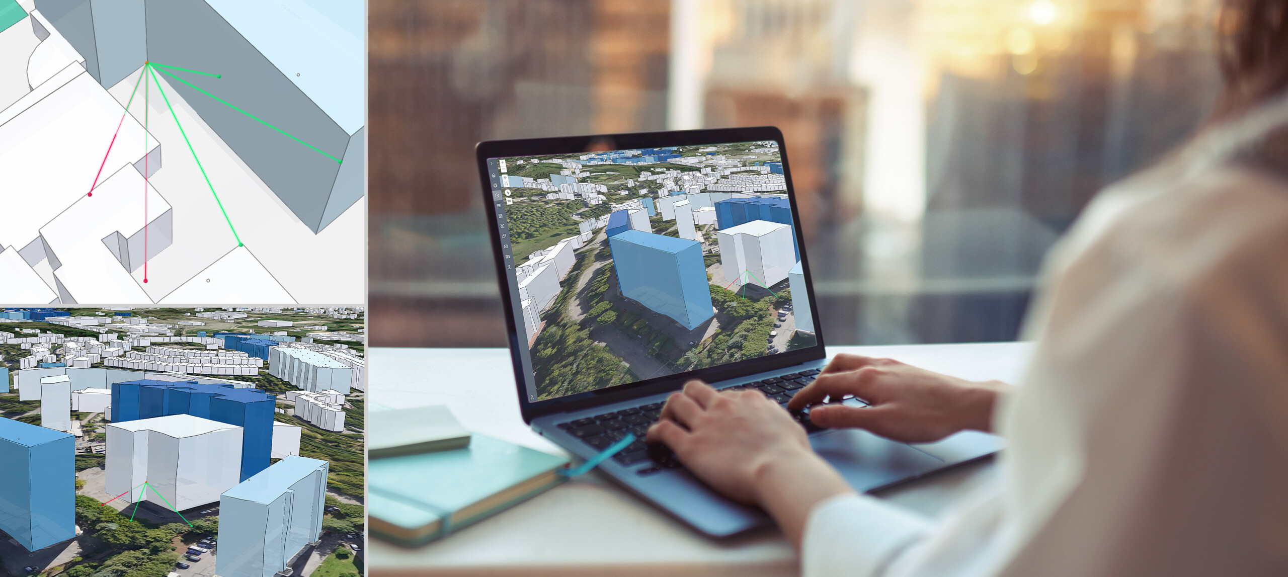
The result of the combination is an advanced Urban Digital Twin solution that faithfully replicates real cities in digital twins.
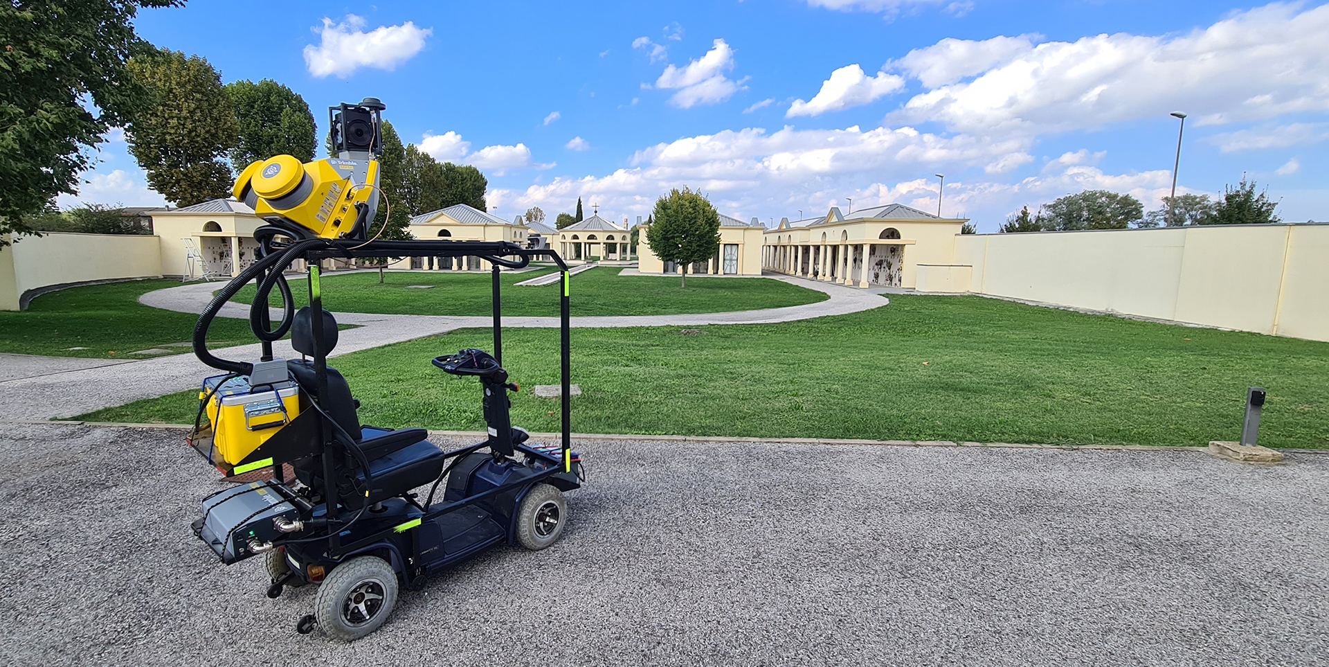
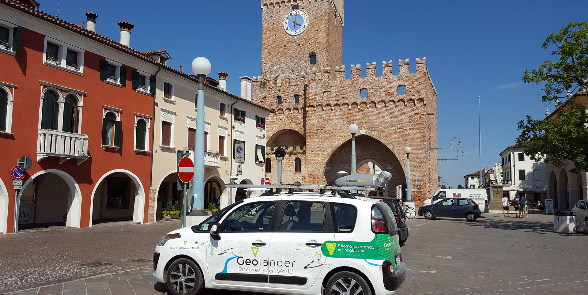
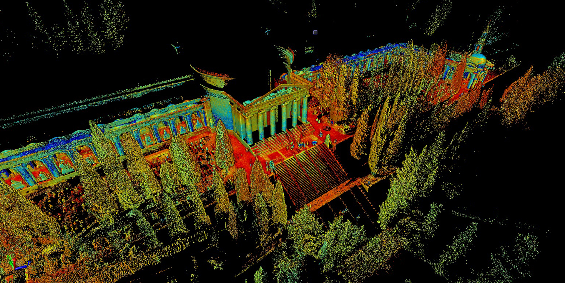
Wiseland provides comprehensive services and innovative technologies for environmental management, land regeneration, and cultural heritage preservation. Using the most advanced surveying tools such as laser scanners on vehicles, drones, and mobile carts, we collect georeferenced surveys of both the interior and exterior of buildings.
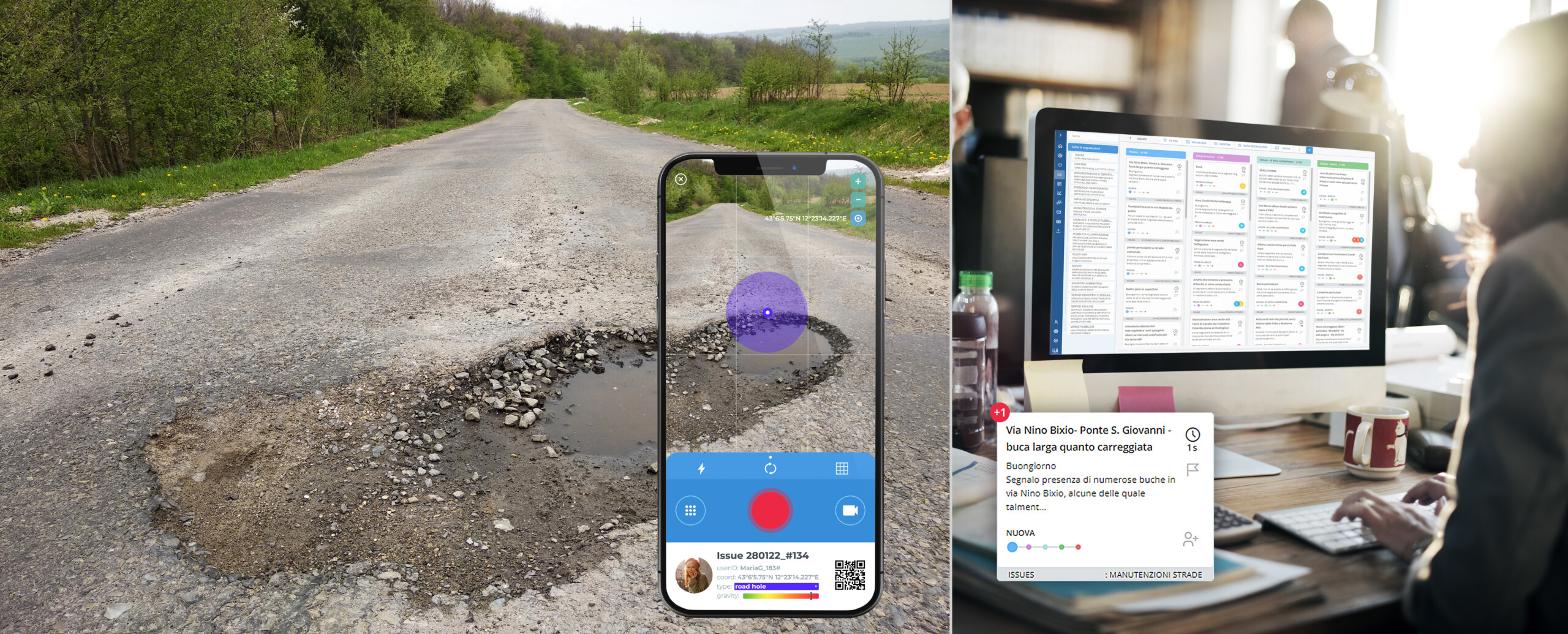
Surveys become data, are measured, analyzed, and fed into a centralized Geo Digital Twins Urban Platform, enabling effective:
- spatial planning,
- service management,
- heritage preservation and promotion.
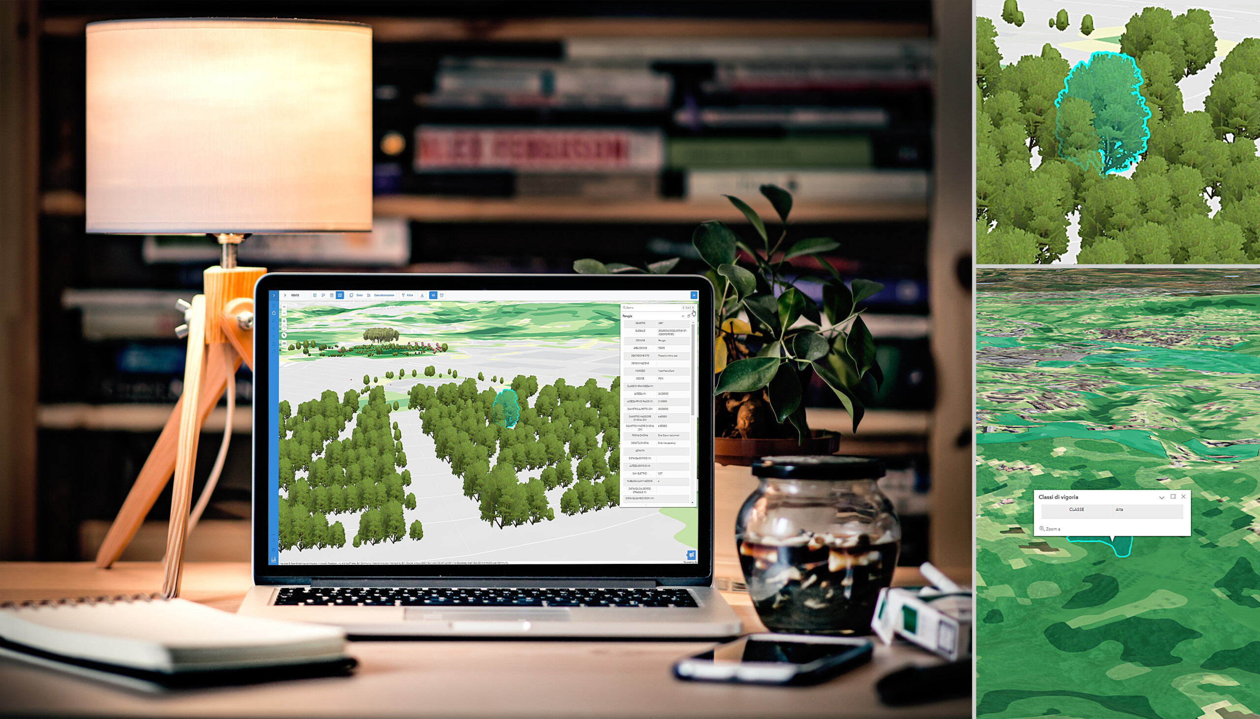
The system uses highly advanced graphics to create photorealistic maps, facilitating interactive data exploration.
Decision makers are empowered to implement strategic planning, benefiting from dynamic virtual environments, with the goal of transforming cities into models of sustainability, resilience, equity and community centricity, for the benefit of the citizenry.
Why Wiseland
decisions • simulation • integration
Wiseland is an integrated cloud-based platform using advanced AI and Machine/Deep Learning algorithms. Combined with the geo business intelligence system underlying the portal, it enables simulations in a virtual environment that closely mirrors the real city, ensuring high reliability. The ability to easily turn different layers of information on and off allows all government departments in the city to use the platform effortlessly, accessing information adhering to their responsibilities and providing valuable support to decision makers.
The system seamlessly integrates various data sources, including open data, city-specific information and applications. In particular, it incorporates 3D data obtained with sophisticated point cloud data collection systems.
DECISION SUPPORT
REAL TIME SIMULATION
DATA INTEGRATION
Discover
WiseTown & Geolander.it products & services

“Smart cities do not mean creating jungles of concretes or sophisticated cities of glasses with HiFi technologies. But a smart city means a city, where humans, trees, birds and other animals can grow with all their glories, imperfections, freedom and creativity.”
“With a GIS digital twin as a foundation, you can do visualizations, simulations, physics models, and do it within an immersive, game-like environment.”
Partners and Customers
Contattaci
Hai domande da farci? Scrivi liberamente
Inserisci i tuoi riferimenti qui di seguito, risponderemo il prima possibile
