Context of reference
Accelerating technological innovation fuels aspiration to stay current. As a result, local authorities recognized that the idea of Smart Cityand the implementation of strategies to transform their cities into smart cities no longer meet the expectations of citizens and the administration itself.
Although cities are equipped with multiple complex data management systems, from registry management systems to green area monitoring, technologies that can correlate these data are often absent and remain confined to different offices, causing significant waste of time, money and resources.
Urban Digital Twin: a new approach to city governance
The administrations that have understood this criticality are trying to evolve beyond the concept of smart cities, aspiring to becomewise cities, that is, able to analyze, know and keenly evaluate reality in order to make informed decisions and act. In this direction is the adoption of the Urban Digital Twin, the digital model of the physical territory that knows how to integrate the data and information that tell the evolutionary processes of the city.
The 3D simulation of the city enables remote monitoring of various aspects, which significantly improves the efficiency of urban management. The digital twin provides all the necessary information to the relevant municipal offices, in real time..
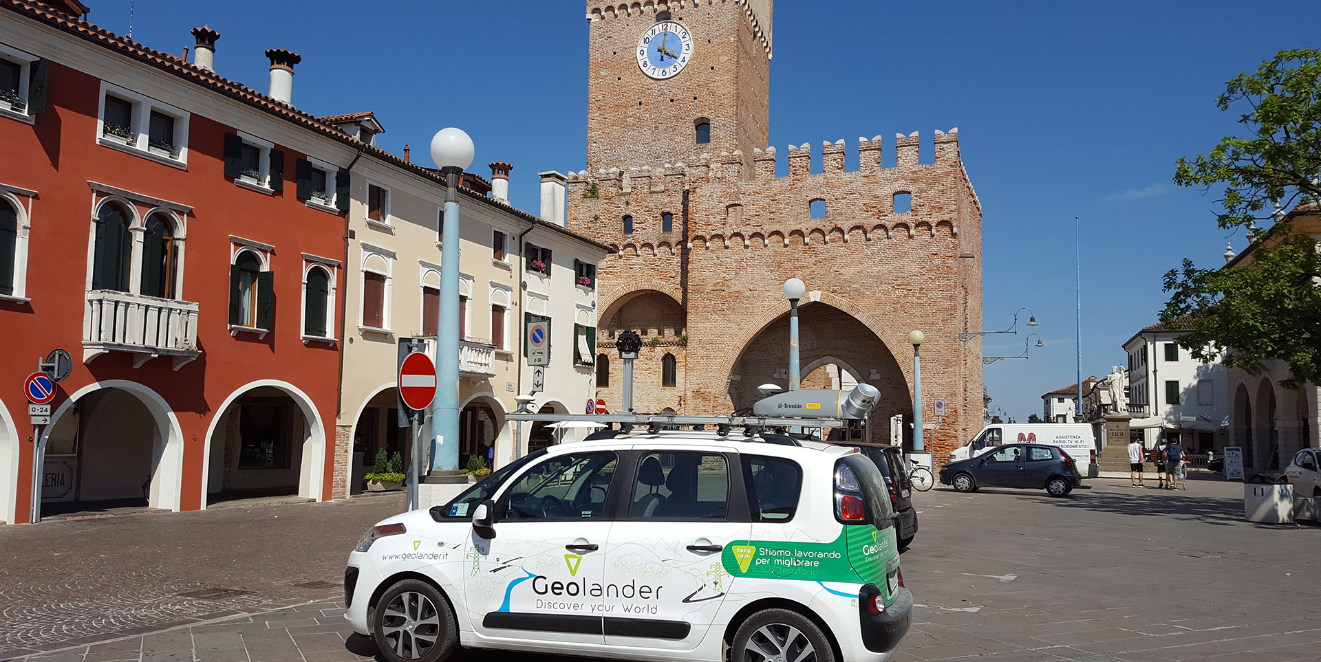
The creation of the virtual replica of a city is done through a land survey campaign, through the use of drones, georadarsand advancedMobile Mappingtools.
These technologies make it possible to develop an accurate urban digital twin that simulates real city behavior. The digital twin fits in as an opportunity to integrate the city’s data to the physical digital model of the territory, which is thus interrelated and easy to read/consult even for non-technical personnel.

The interface by which administrations can implement urban planning and land monitoring, providing detailed insight and facilitating informed decision making is through interactive and easily searchable platforms. These platforms display information on a mapandallow simple spatial analysis of the entire material underlying the digital twin.
Digital immersive model
In order to support different areas such as urban green monitoring, youth distribution analysis, public transportation services, traffic and parking availability, the Urban Digital Twin offers a detailed and measurable immersive digital model that can integrate:
- Geographic information systems data,
- the databases used by administrations for spatial government (registry, social services, construction etc.),
- Data from sensors IoTinstalled in the city
- open data that relate to the specific territory
Wiseland uses a very advanced platform to put the solutions offered by the Urban Digital Twin into practice; it is the Citiverse immersive virtual system.
Wiseland is the first Italian business network for the Digital Twin and is founded by Geolander.it and WiseTown.
